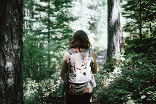
 Hikes
Hikes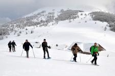 Mountain leaders
 Around us
")

")
Walking tour: In memory of WW1
Nearest train station :
6 km - Cernay


About the walk
path
Start :
Wattwiller - Parking du calvaire
Altitude difference :
450 m
Length :
8 Km
Useful information
historical/heritage path
hiking path
IGN walking map needed :
1/25000 3620 ET
Marking :
Difficulté : intermédiaire

Departing from Wattwiller, discover this charming village known for its mineral water. And follow in the footsteps of the memory of WWI from the French lines: a route marked out with remains and monuments of the Great War and which goes by the famous Siehlabechle waterfall.